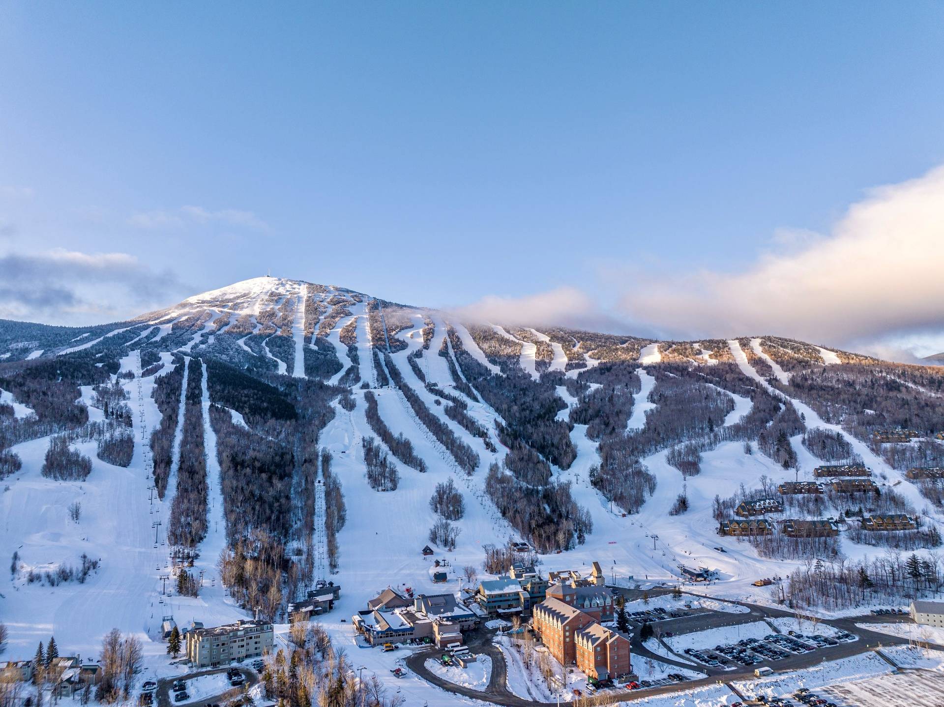
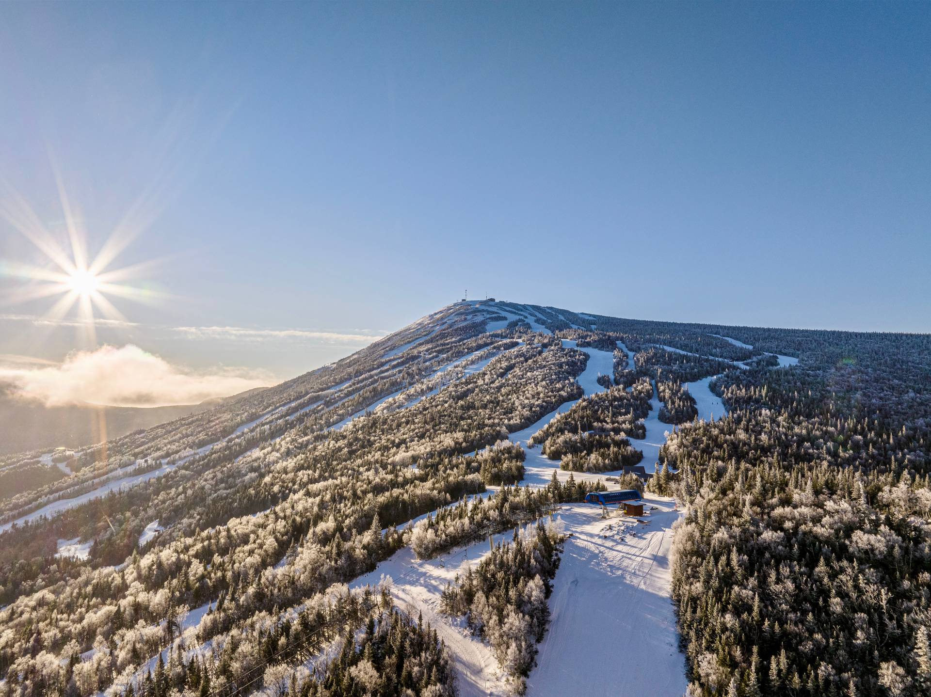
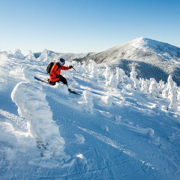
Meet The Mountain
At A Glance

4,237'
Summit Elevation
2,820'
Vertical Drop
1,360
Developed, Skiable Acres
176
Trails & Glades
- 15 Lifts Total
- 3 High Speed Detachable Quads
- 3 Fixed Grip Quads
- 5 Double Lifts
- 1 Triple Lift
- 3 Surface Lifts
Find Your Zone
The Heart of Sugarloaf, Conveniently Funneled Down to the Base Area
Vertical Drop: 2,820 feet (860 meters)
Developed, Skiable Terrain: 1,360 acres
Number of Trails: 176 trails and glades
Longest Run: 3.5 miles (Tote Road)
Lifts: 15 lifts, including high-speed quads
Annual Snowfall: Average of 200 inches
Elevation: Summit at 4,237 feet (1,291 meters)
Snowmaking: Covers 95% of groomed trails

Lift Tickets

Mountain Report
