Hiking
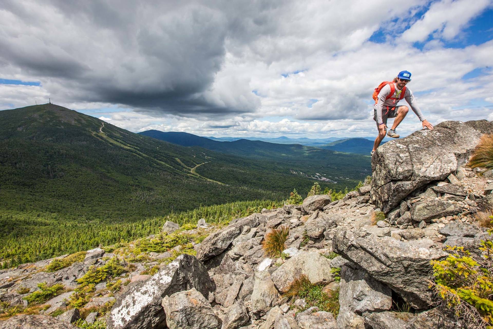
Explore the region's legendary hiking terrain, from gentle treks to 4,000 foot peaks, and even sections of the Appalachian Trail.
- Hikes For All Ages
- No Trail Fees
- Trails Not Patrolled
Take A Hike
With miles of hiking trails located within a stone's throw of the Sugarloaf Base Village, your options are endless. From summiting Sugarloaf and the Bigelow Preserve's 4,000-foot peaks to traversing the nearby trails and exploring terrain along the Appalachian Trail, your possibilities are endless.
Explore all that this region has to offer for hiking, backpacking, and more when you visit Maine Trail Finder.

Sugarloaf Summit
Maine's Second Highest PeakEnjoy a challenging hike to the summit of Sugarloaf, Maine's second-highest peak at 4,237' and celebrate the accomplishment with a rewarding view from the top. Offering incredible 360 views from the summit, plus plenty of opportunities to stop and enjoy the view along the way, you're sure to have a good time. Enter from the AT trailhead, or enjoy the trek up Tote Road to the summit.

Burnt Mountain
The Best View Of SugarloafHike to the top of Burnt Mountain and enjoy not only 360 views of nearby mountain ranges, but one of the best views of Sugarloaf around. Enjoy the sights and sounds of nature as you travel along Brackett Brook and through alpine zones with dense forest matter.

Bigelow Preserve
A Local FavoriteThe Bigelow Range offers a variety of hiking options and routes, ranging from multi-day trips to day-long adventures. Consisting of six major peaks and outstanding views of nearby Flagstaff Lake, you'll experience one of the region's greatest and most memorable hikes.

Maine Huts and Trails
A Backcountry ExperienceHike, bike, trail-run, and explore all that the Maine Huts and Trails system offers with over 80 miles of maintained trail. Travel between one of their backcountry huts, take in the view from a scenic vista, or take a dip in Poplar Stream Falls before heading back out onto the trail.


